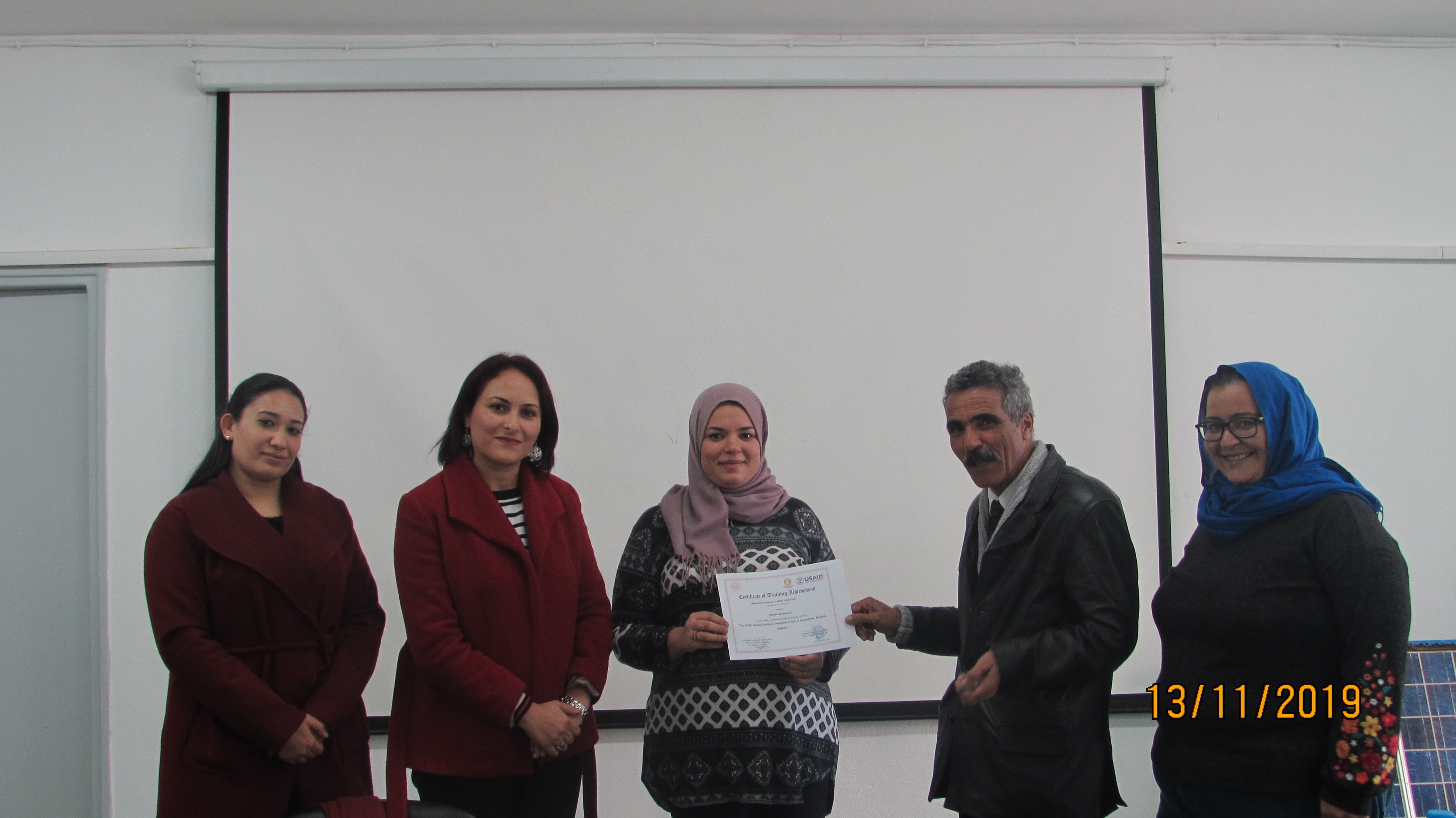
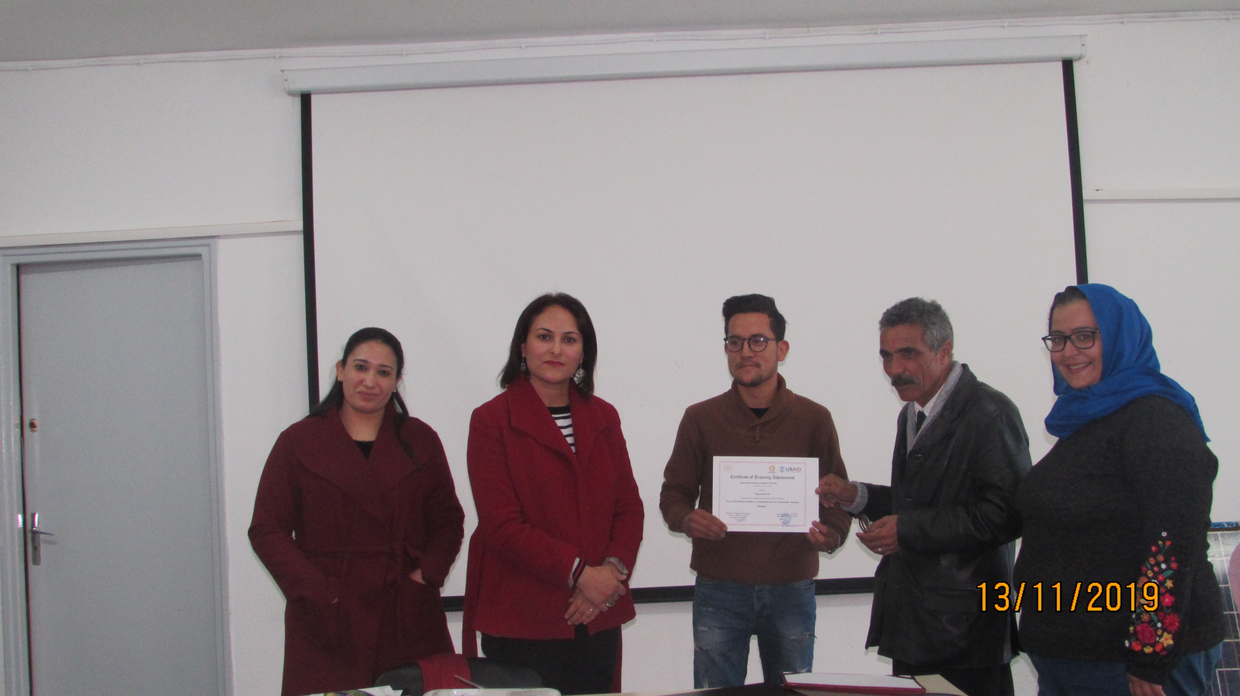
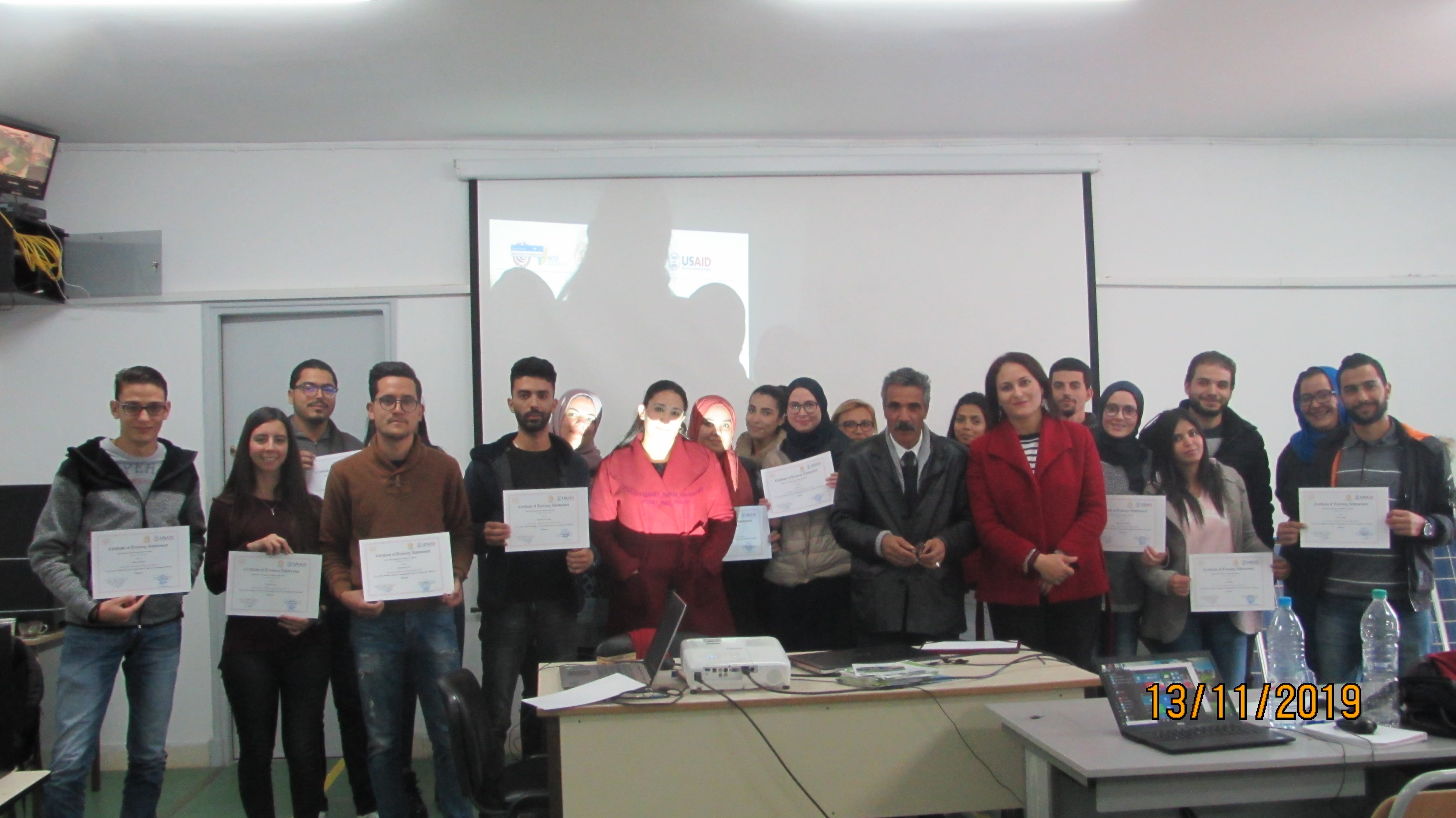
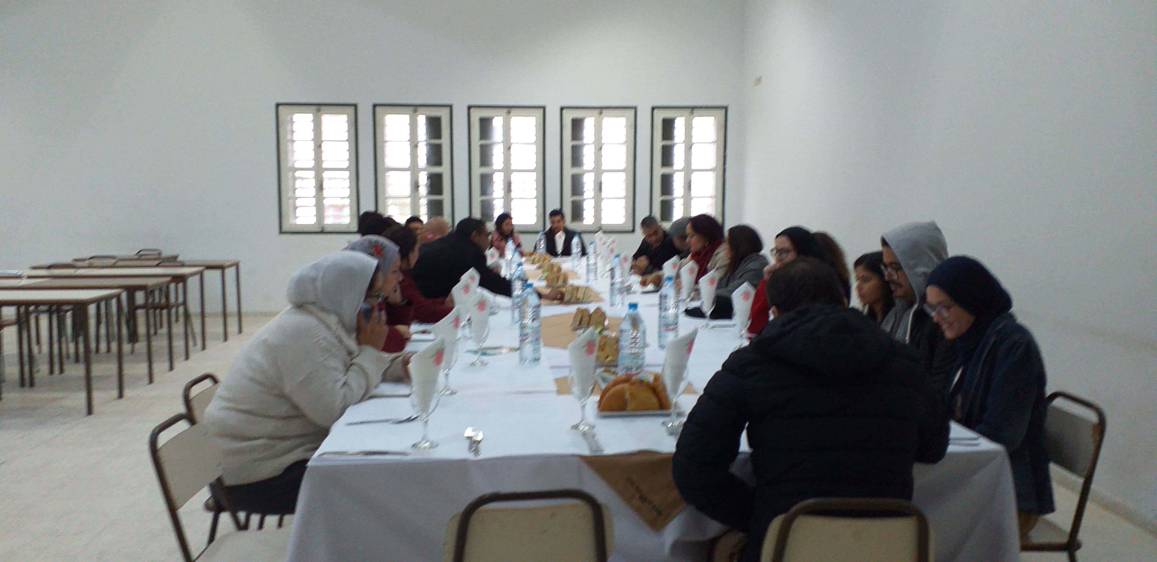
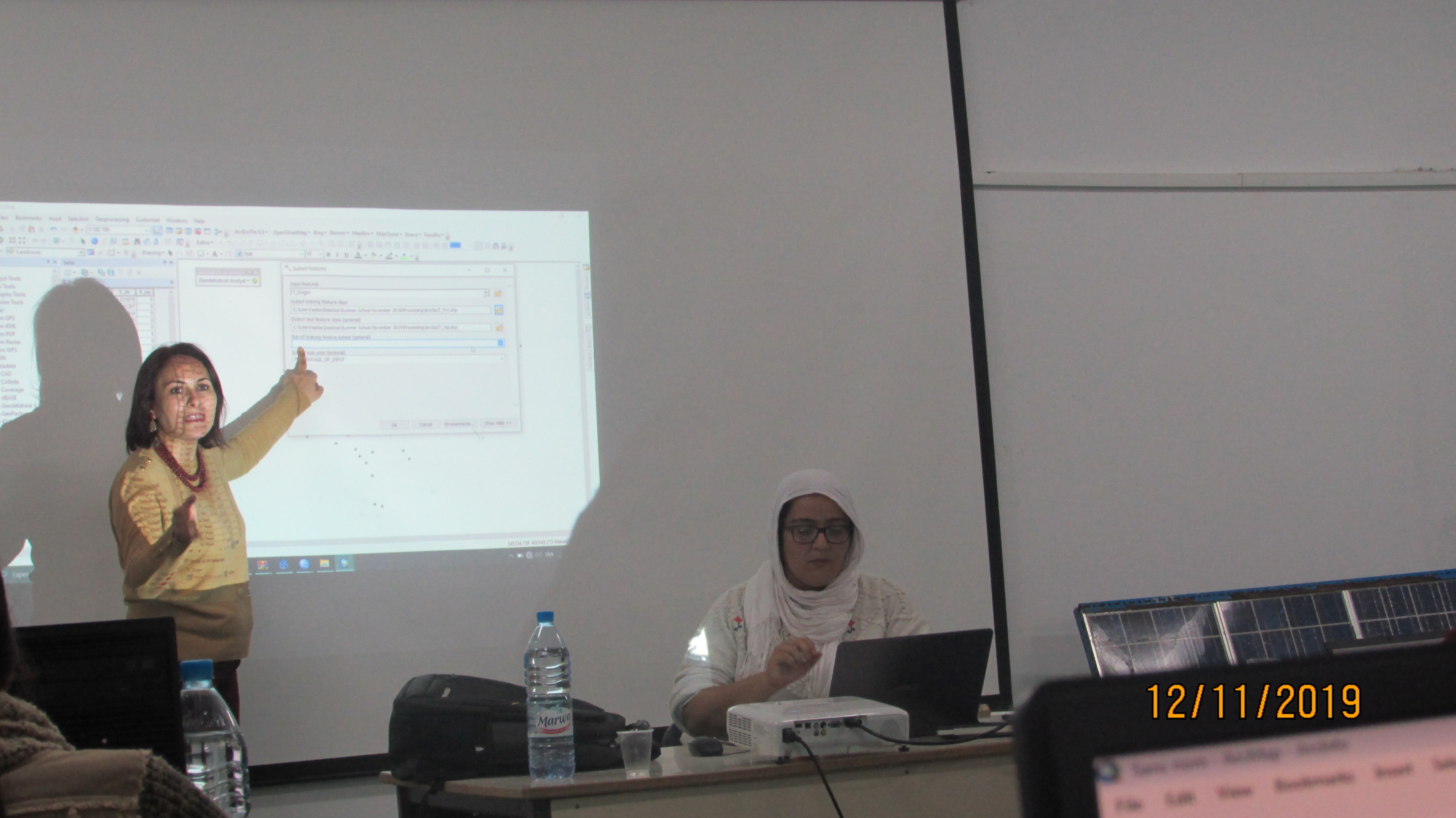
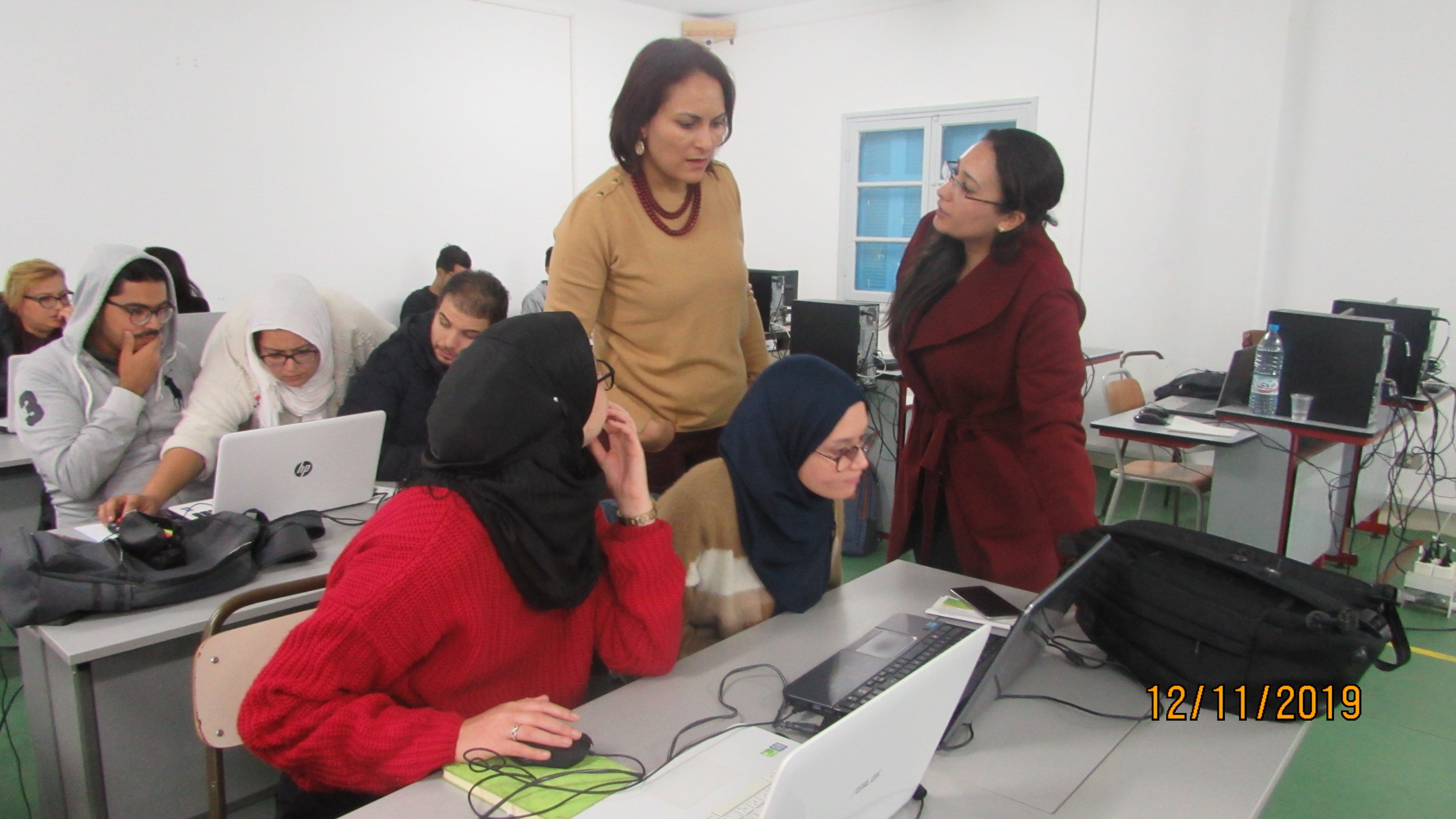
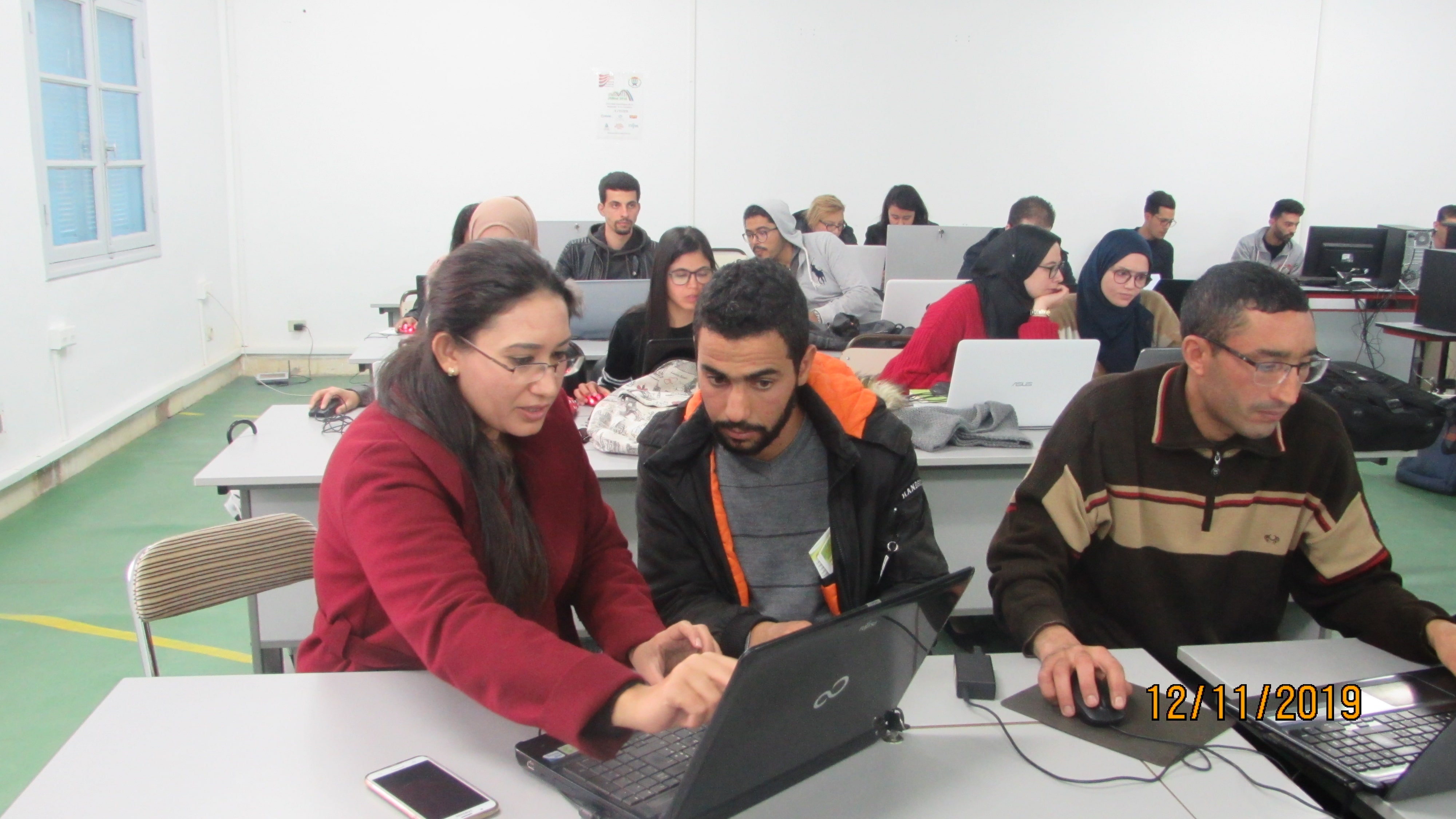
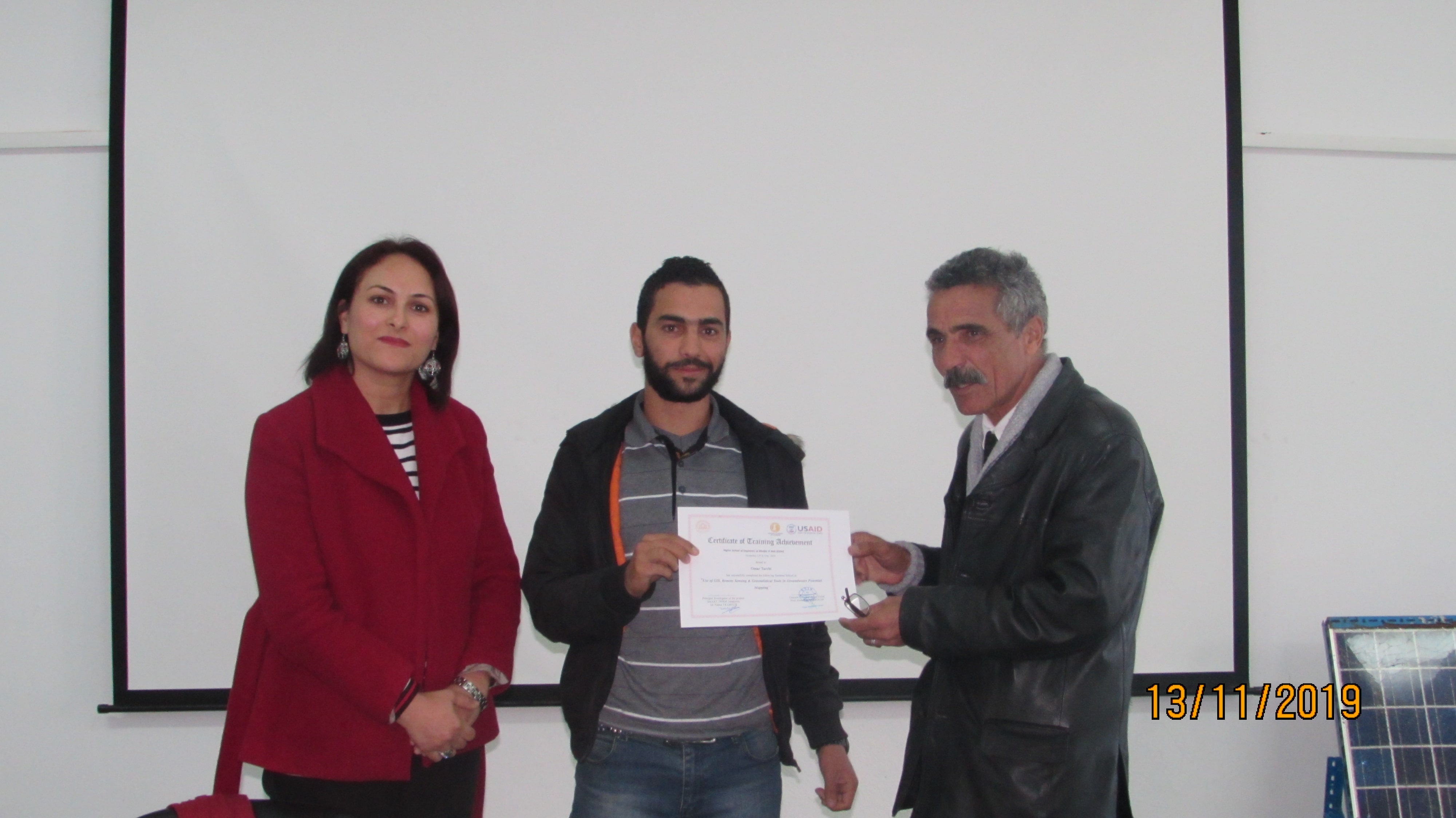
Summer School “Use of GIS, Remote Sensing and Geostatistical tools in groundwater potential Mapping”
-
- During two days :
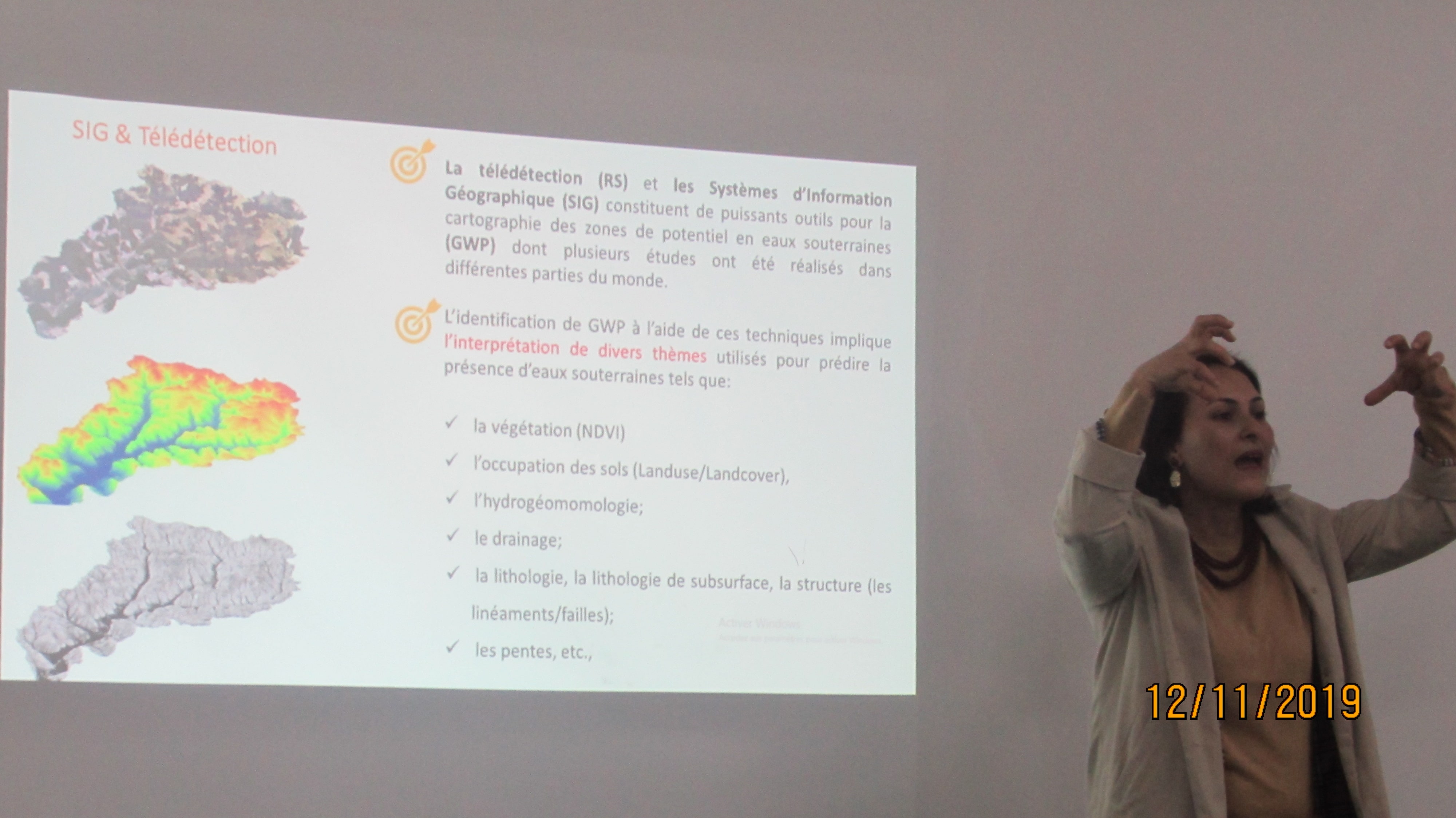
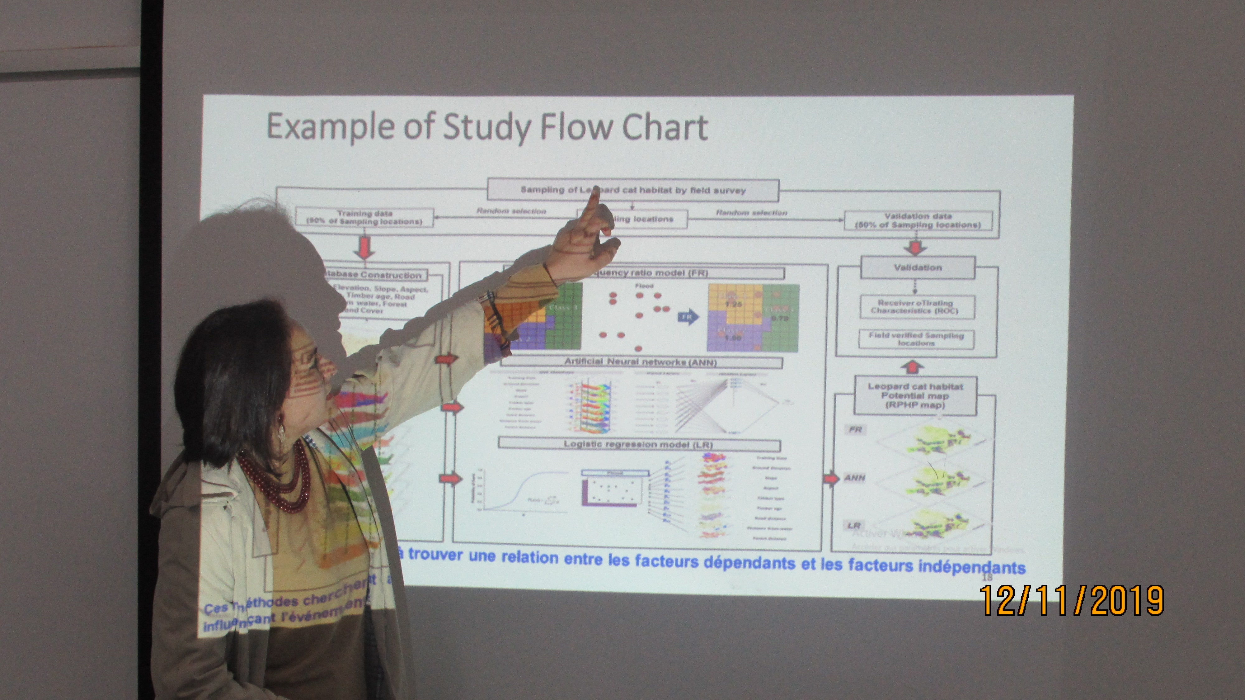
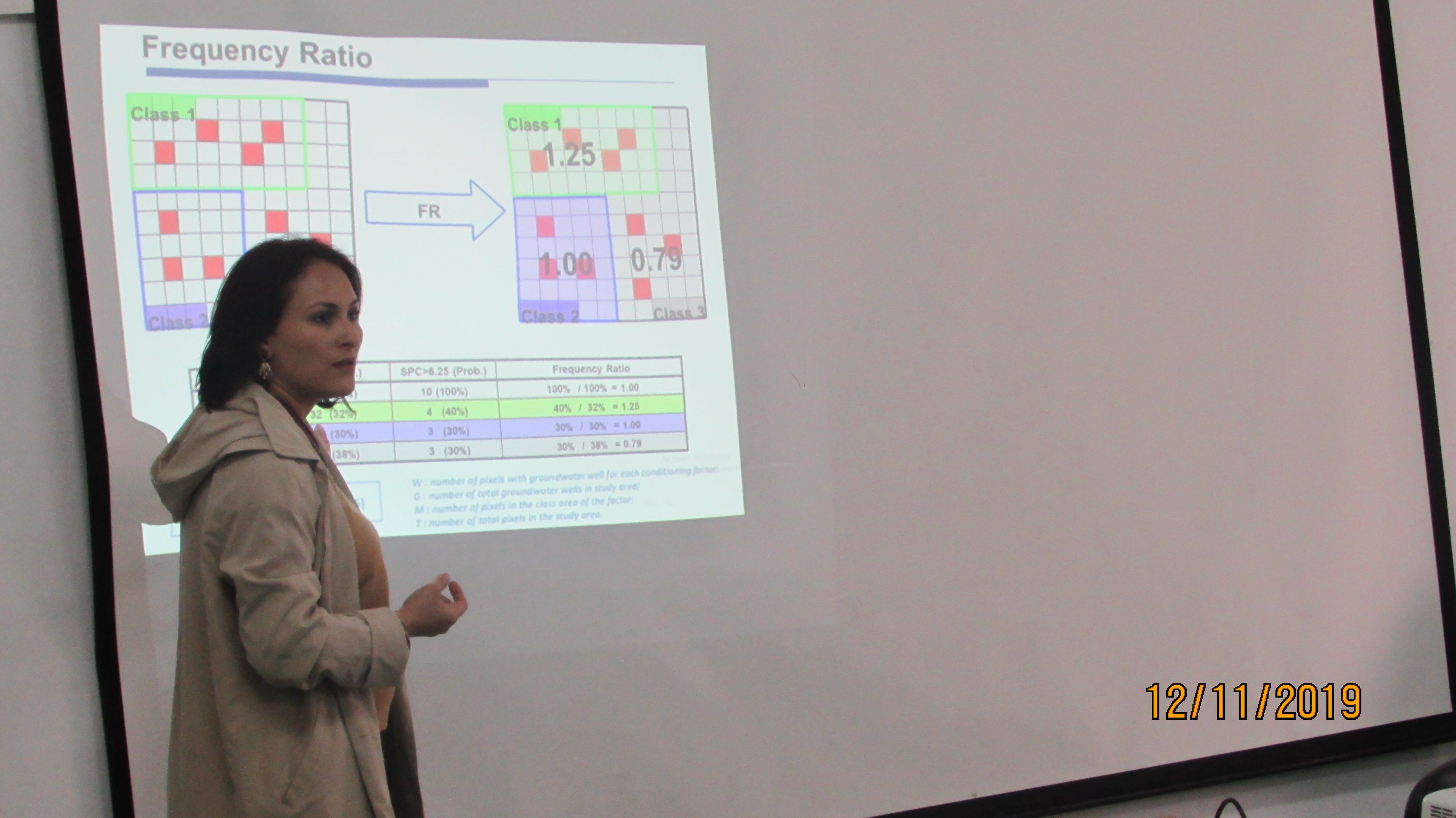
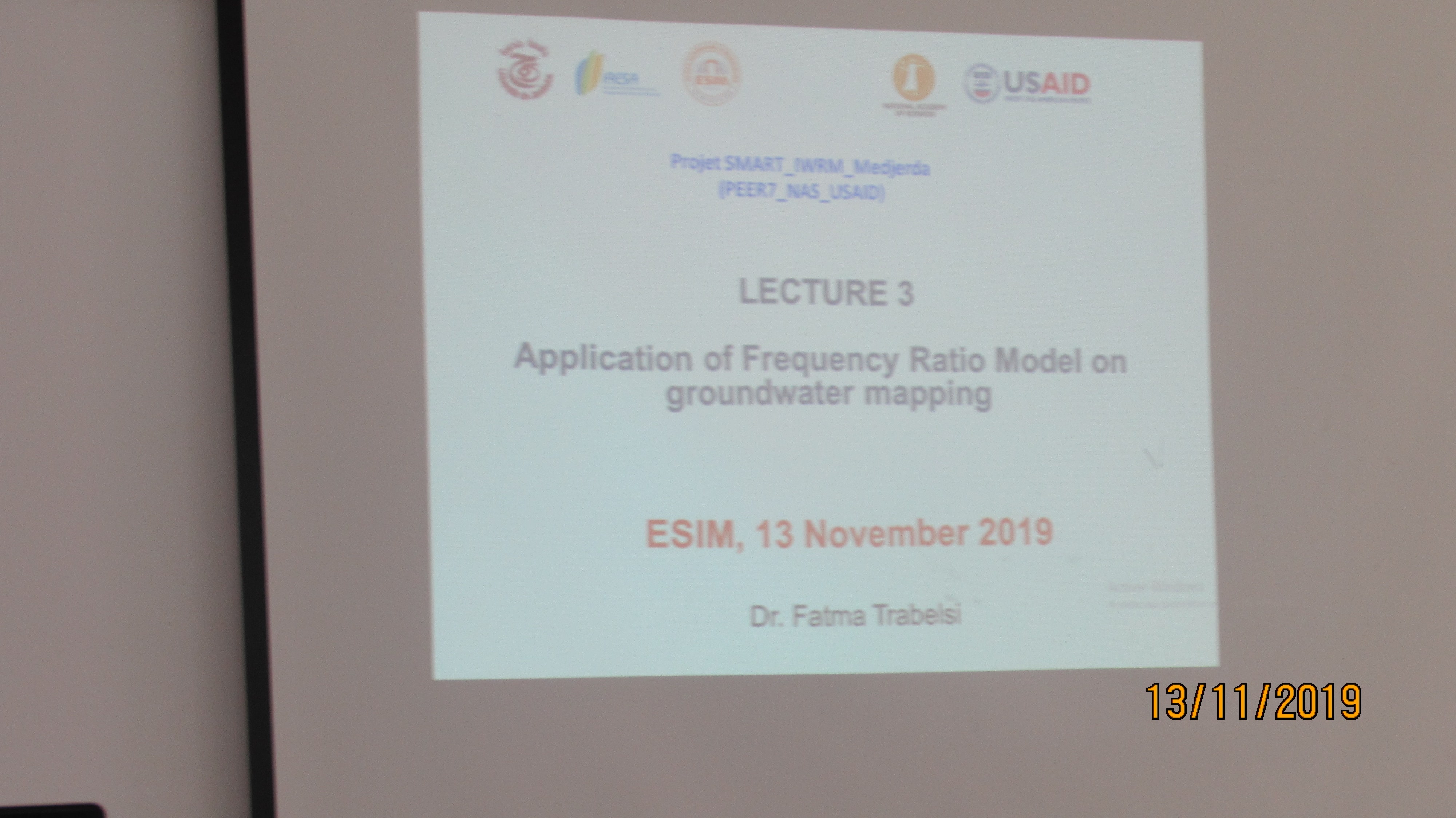
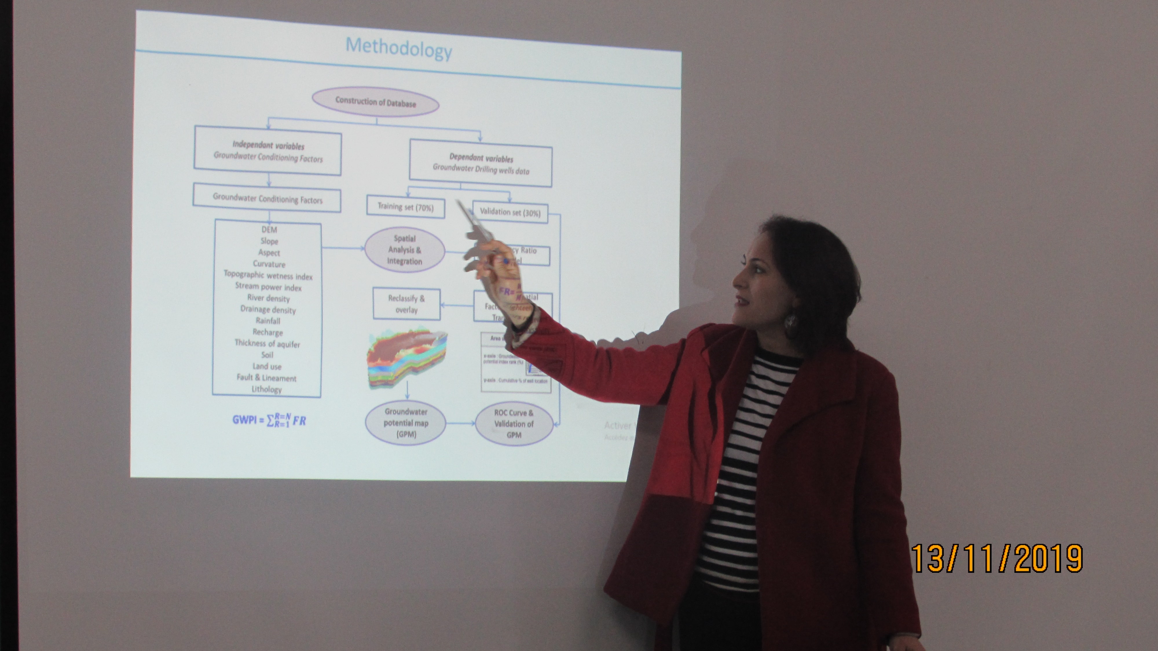
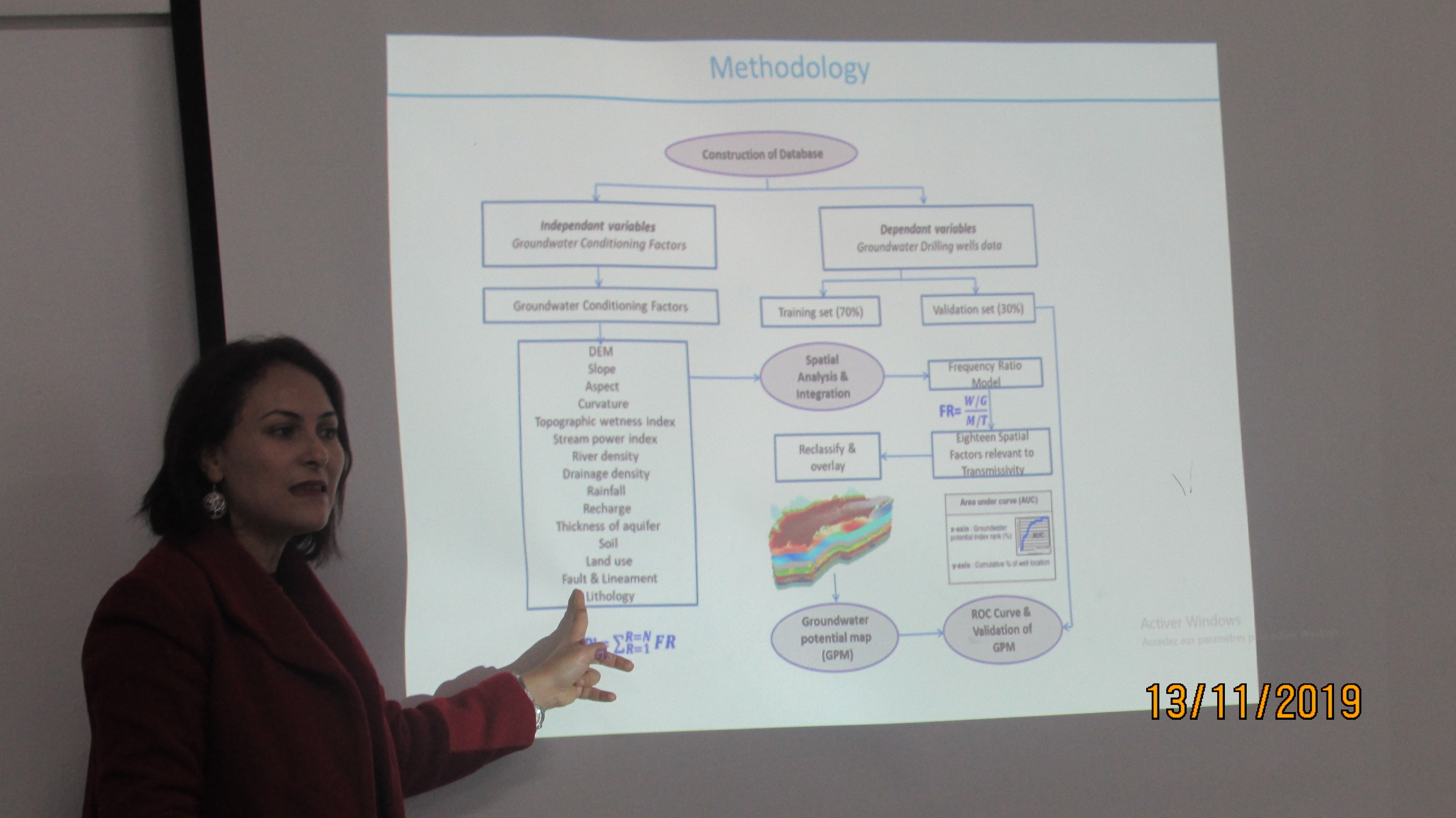
- Three theoretical lectures are presented about the (i) Application of GIS, Remote Sensing & Geostatistical Tools in Groundwater Potential Mapping (ii) Presentation of Frequency Ratio Model (iii) Application of Frequency Ratio Model on groundwater mapping
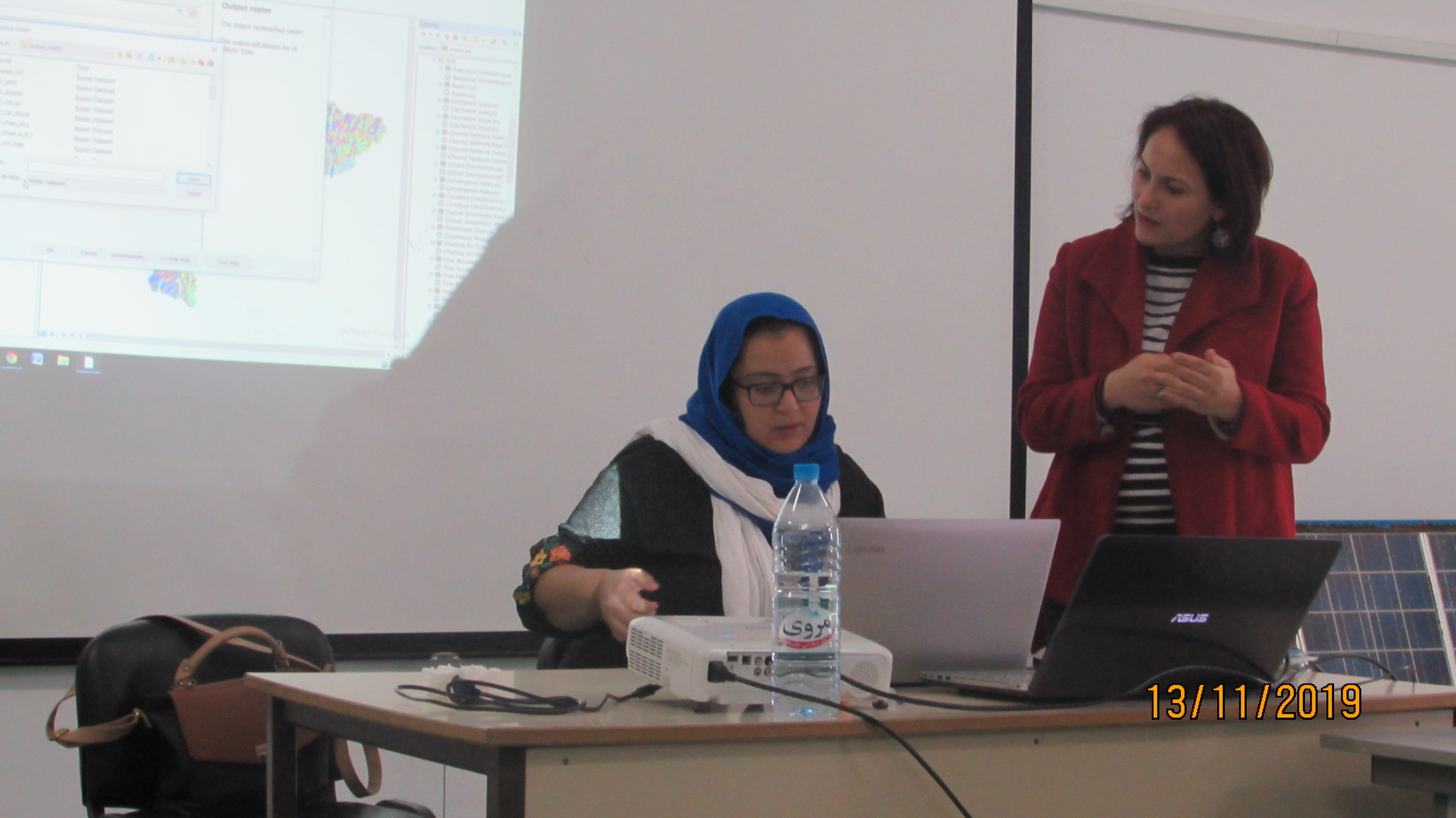
- Practicle exercices are ensured on the application of RS, GIS and Frequency Ratio model for groundwater potential Mapping using Arc GIS, SAGA GIS & SPSS softwaresEvent Organizer(s): PEER_ESIM
- During two days :
- Event Date(s) : 12&13 November 2019
- Participant Description: Young researchers (PhD, master) and engineering students
- Number of Females: 15
- Number of Males : 8

